November 11, 2013
Highlights
- Above-average October precipitation in Wyoming and northern and western Colorado further alleviated drought conditions and provided a good start to the winter snowpack.
- Precipitation was below-average in Utah and southern and eastern Colorado, though cool temperatures across the region in October helped retain the snow that did fall.
- The NOAA CPC climate outlooks show a tilt towards continued wet conditions for Wyoming into the winter months, with no tilt for the rest of the region.
October Precipitation and Temperatures, and Current Drought
In October, storm tracks favored the Northern Plains and left nearly all of Wyoming with above-normal precipitation; much of the state was over 200% of normal. To the south, this wet anomaly extended into northern Colorado and far western Colorado, and a portion of eastern Utah. The rest of Colorado and Utah saw drier-than-normal conditions, including persistently drought-stricken southeastern Colorado.
After the relatively dry conditions during the first 10 days of November, the current HPRCC Water Year Precipitation map for 2014 shows essentially the same pattern as for the month of October.
October’s temperatures were cooler than average across the region—and across the entire western US—even in those areas with below-average precipitation. Most areas were 2–6°F below average monthly temperatures for October, which helped keep the new snow in the mountains on the ground.
The latest US Drought Monitor, representing conditions as of November 5 , shows further improvement in the persistent drought conditions over the past month. The most significant improvements were in southern and eastern Wyoming, where D2 and D3 drought conditions on October 1 improved to D0 and D1. Lesser improvements occurred in south-central and northwestern Colorado. The proportion of Wyoming in D2 or worse drought dropped to zero, from 22% on October 1; Utah remained at 16%; and Colorado remained at 12%. Region-wide, the overall drought extent and severity is now lower than it has been since early 2012.
Snowpack
The Current Basin Snowpack map from NRCS indicates near- to above-average SWE in all but a handful of basins in our region, with the largest positive anomalies in Wyoming, southern Utah, and northwestern Colorado. We are still very early in the snowpack season, and the % of average SWE values are more volatile than later in the season. With average to dry conditions forecasted for the region for the next 5 to 14 days, these values may slip backwards by late November, especially in Utah and much of Colorado where the actual SWE amounts on the ground are generally less than 2".
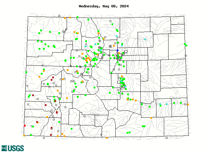
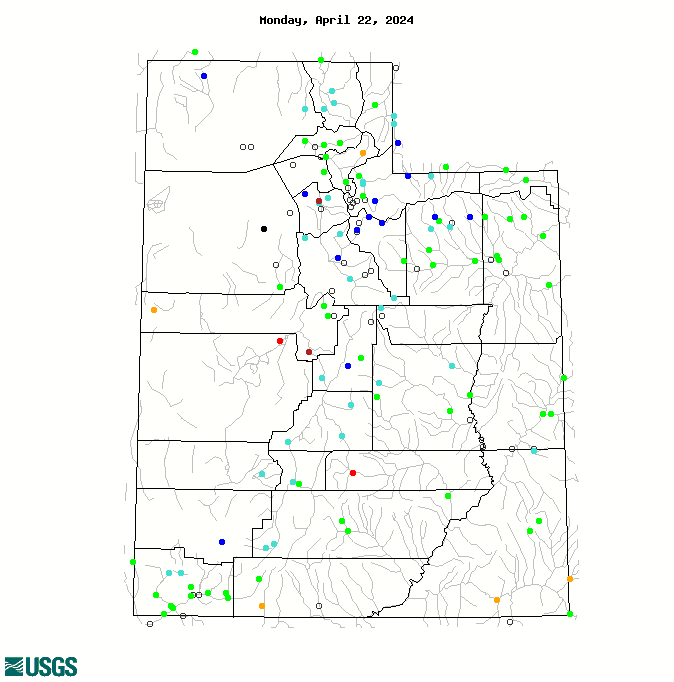
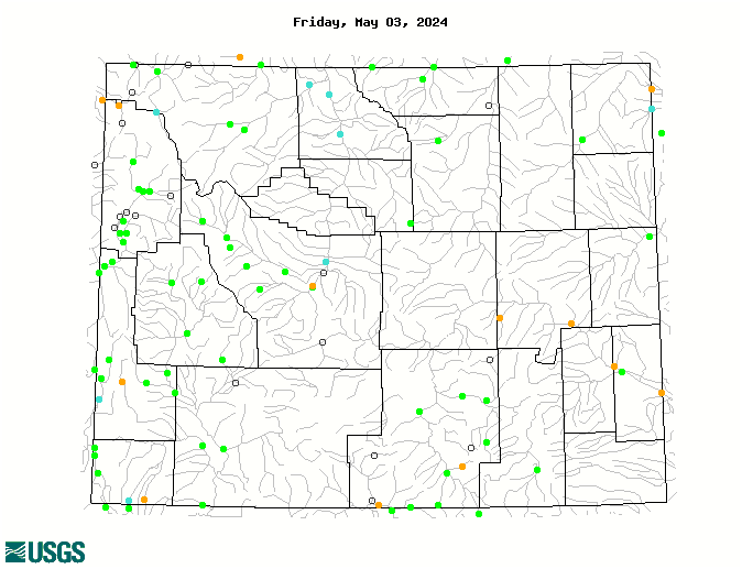
Current Streamflows
The maps of current streamflows for Colorado , Utah , and Wyoming show that streams in the region are generally in lower flow categories than one month ago, but most are still in the normal or above-normal categories. The Colorado River near the CO-UT state line was in the 40th percentile (96% of median flow) on November 9.
Seasonal Climate and Drought Forecasts
The latest monthly Climate Outlook released on October 31 by NOAA CPC shows a slight dry tilt for precipitation for November extending into extreme southern Colorado, but no tilt elsewhere. The seasonal outlooks released October 17 show a tilt towards wetter conditions for most of Wyoming, but no tilt elsewhere in the region, for the November–January period , and no tilt for the December–February period . The latest CPC Seasonal Drought Outlook released October 17 projects that the remaining areas of drought conditions (D1 or worse) in our region, mainly in Utah, will persist through at least January .
As reported in the October 8 briefing, the PSD Precipitation Forecast Guidance ("SWcast") released September 11 for October–December 2013 conditions shows a slight wet tilt for the period for far northeastern Colorado, and a dry tilt for most of eastern Colorado into the northern Front Range. No tilt is forecasted for the rest of Colorado and Utah, indicating equal chances for wet, dry, and middle outcomes. The fall-early winter period historically has shown the least forecast skill of all seasons, though there has been positive skill east of the Continental Divide.
Also reported in the October 8 briefing: in the experimental January 1 SWE forecast for Colorado released in early October, the median (50th percentile) forecast calls for above-average January 1 snowpack (109–117% of average) for all basins except the Yampa (93%) and Rio Grande (98%).
ENSO indicators are still showing ENSO-neutral conditions, though with a warming trend over the past few months. The models in IRI's mid-October ENSO Prediction Plume once again indicate a consensus towards ENSO-neutral conditions continuing through the winter, though now both the dynamical and statistical models are tending towards the warm side of neutral, with a few models sneaking into El Niño territory by spring.