January 14, 2019 (UT, WY, CO)
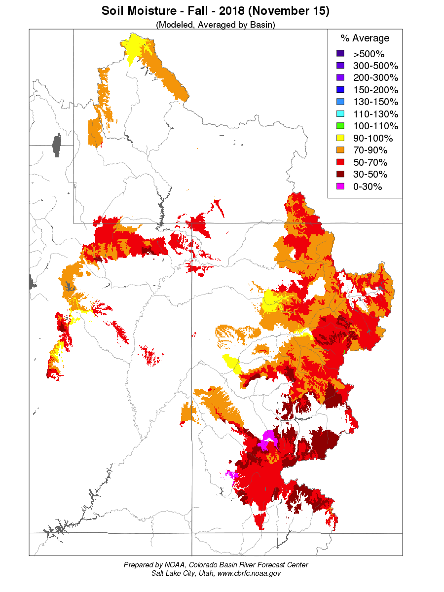
- With below-normal or near-normal snowpack conditions and very low antecedent soil moisture, NOAA's January 1 forecasts call for much-below-average (50-70%) or below-average (70-90%) spring-summer runoff across nearly all of the region's basins. Unless there is significant improvement in snowpack conditions, most of the basins in Colorado and Utah that saw very low runoff in 2018 will face another year of hydrological drought.
- After a mostly dry December, and a somewhat better start to January, snowpack conditions are overall slightly below normal for the region and for each state. As of January 14, most basins in Colorado, Utah, and Wyoming are reporting between 85-105% of normal SWE. Southwestern Colorado is still the driest area with 75-80% of normal SWE, though this is improved from mid-December. The SNOTEL basin average for the Upper Colorado River Basin is at 90% of normal.
- NOAA CBRFC's official January 1 seasonal runoff forecasts, along with those of the neighboring RFCs, call for much-below-average (50-70%) or below-average (70-89%) spring-summer runoff for the vast majority of forecast points in Colorado, Utah, and Wyoming. Near-average (90-110%) runoff is forecasted for several points in north-central Colorado, and in the Arkansas Basin. The CBRFC January 1 forecast for Lake Powell April-July inflows is for 64% of average (4.55 MAF). The outlook for forecasted flow across the region is worse than the snowpack conditions alone would indicate, which mainly reflects the very low antecedent soil moisture in fall 2018 in most basins. (NRCS did not produce January 1 runoff forecasts due to staffing constraints.)
- December was generally drier than normal across the region, aside from well-above-average precipitation in parts of central Utah, southwestern Colorado, and northeastern Wyoming, with near-normal temperatures prevailing over the region. In the first two weeks of January, a series of storms have left wetter-than-normal conditions over southern and central Colorado, southeastern Utah, and central and northeastern Wyoming, with dry conditions elsewhere.
- Since early December, drought conditions have seen little change across the region. The area of exceptional drought (D4) in the Four Corners region saw a smidgen of improvement. Abnormally dry (D0) conditions expanded slightly in northeastern Colorado after the very dry December there.
- El Niño-ish? ENSO indicators have almost reached the multi-month thresholds for declaration of El Niño conditions, though the warm anomalies in the tropical Pacific have weakened in the last month. If an El Niño event does officially and finally emerge, as is still likely, it will be weak and unlikely to persist past the spring. The CPC seasonal precipitation outlooks for the January-March and February-April periods still show slightly enhanced chances for above-normal precipitation for Colorado and adjoining states, consistent with historical tendencies during El Niño events.