New resources make the the Evaporative Demand Drought Index (EDDI) more accessible
-
 DateNews TypeSpotlight
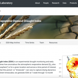
The Evaporative Demand Drought Index (EDDI) shows the unusualness in evaporative demand--the "thirst" of the atmosphere--over a user-specified time window. The EDDI team has recently posted new resources and tools on the updated EDDI homepage to make EDDI maps and data more accessible and usable, complementing the current EDDI maps for the United States (the "Current Conditions" tab on the EDDI homepage):
- EDDI User Manual
- Archive of past EDDI maps back to 1980 ("EDDI Map Archive" tab)
- EDDI time-series tool ("Time Series" tab)Current EDDI maps for the Intermountain West region are also available via the WWA Intermountain West Climate Dashboard and the NIDIS Drought Summary from the Colorado Climate Summary. A webinar on EDDI given on May 11, 2017 is available here. The EDDI Team includes researchers from NOAA ESRL Physical Sciences Division/CIRES, the Desert Research Institute, and Western Water Assessment.