Utah Hazard Planning Dashboard
The Utah Hazard Planning Dashboard is a compilation of online, interactive information tools, maps, and graphics about natural hazards in Utah. The dashboard was developed with input from hazard planners and providers of hazard information to share the best available information about the historical incidence, current risk and future projections of natural hazards.
DASHBOARD INSTRUCTIONS:
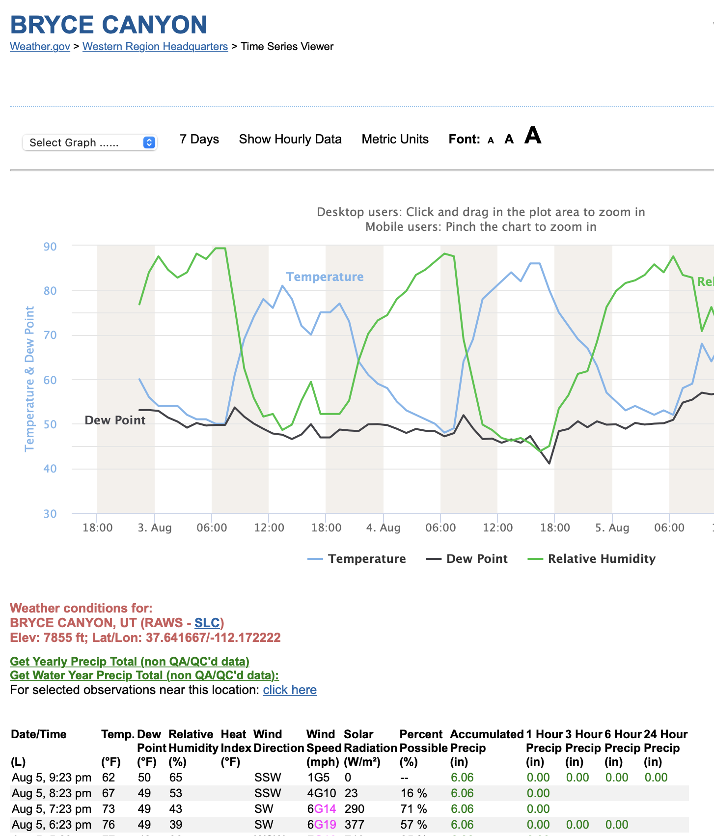
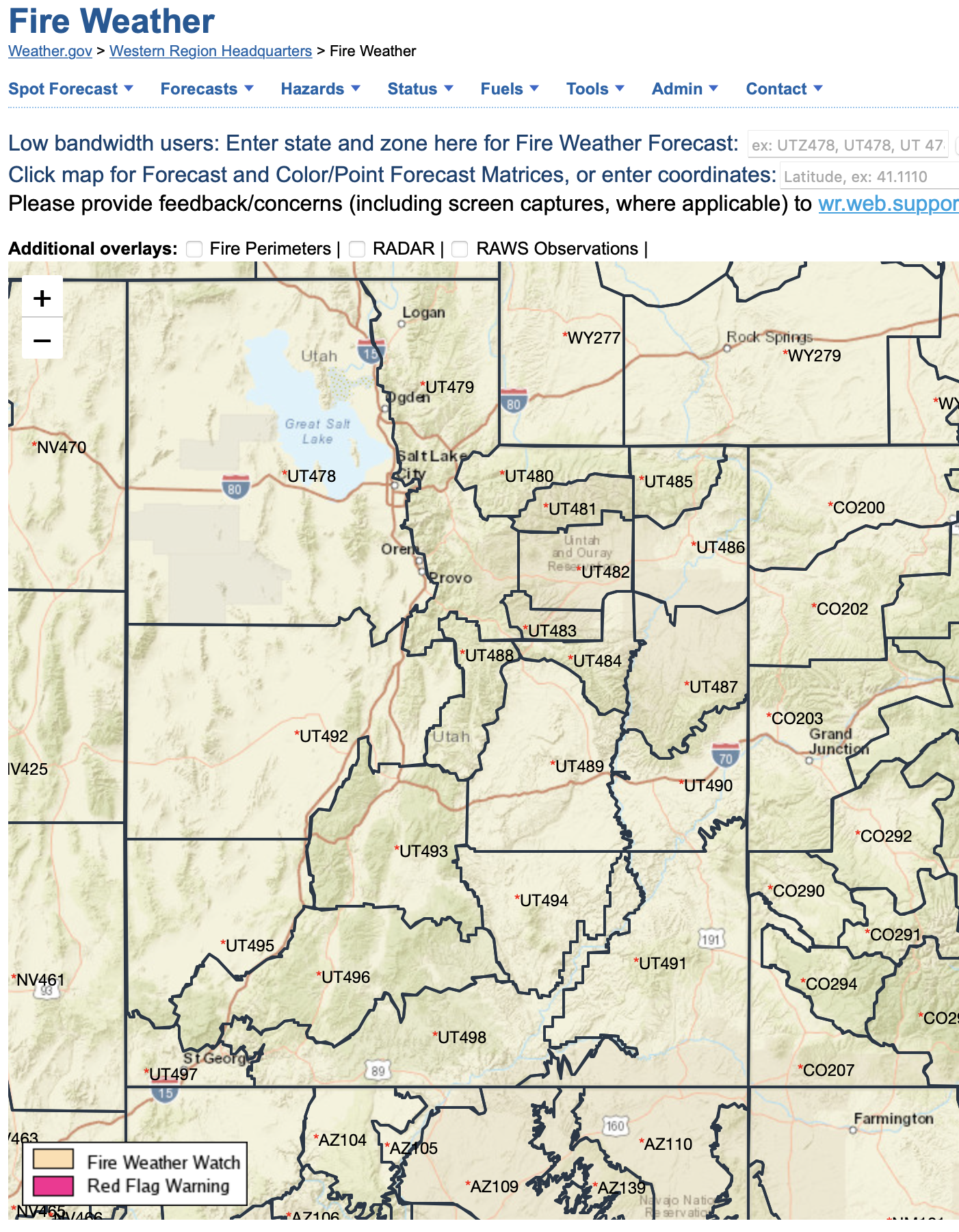
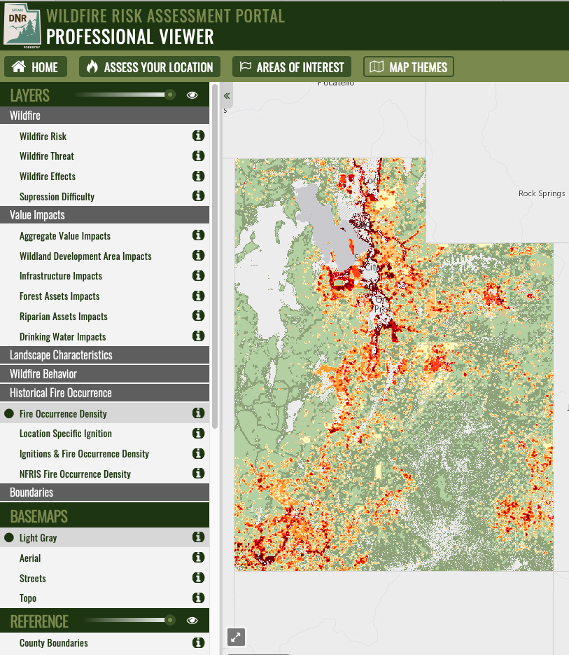
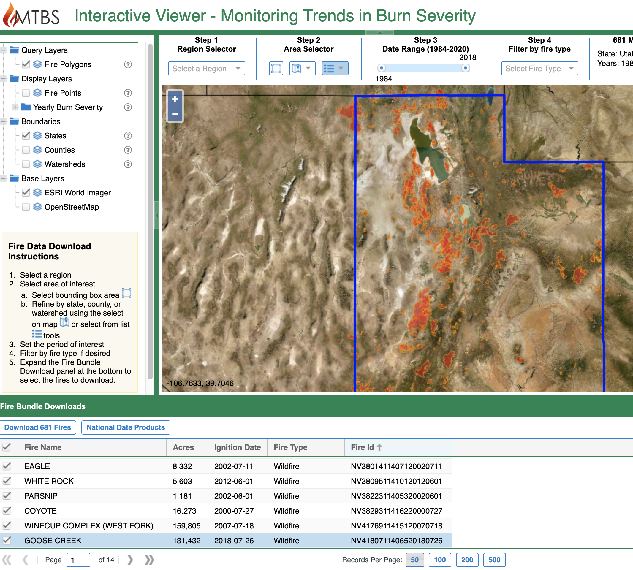
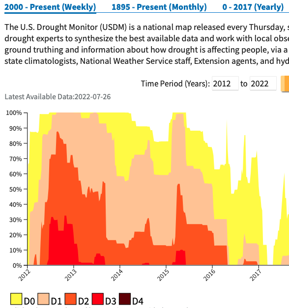
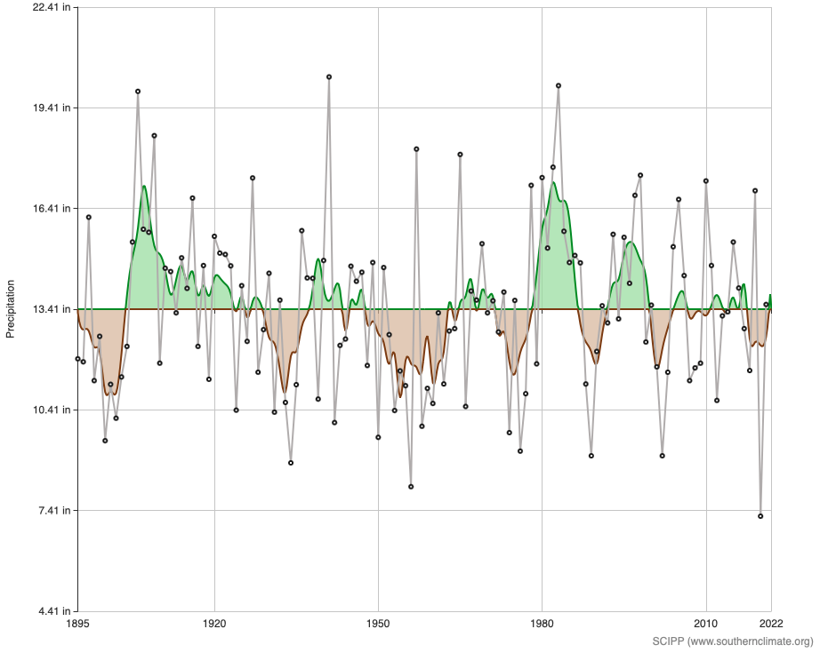
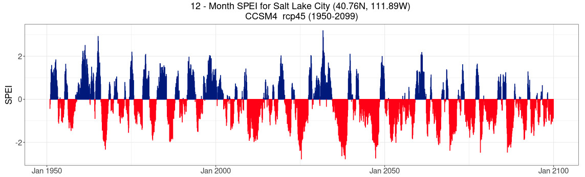
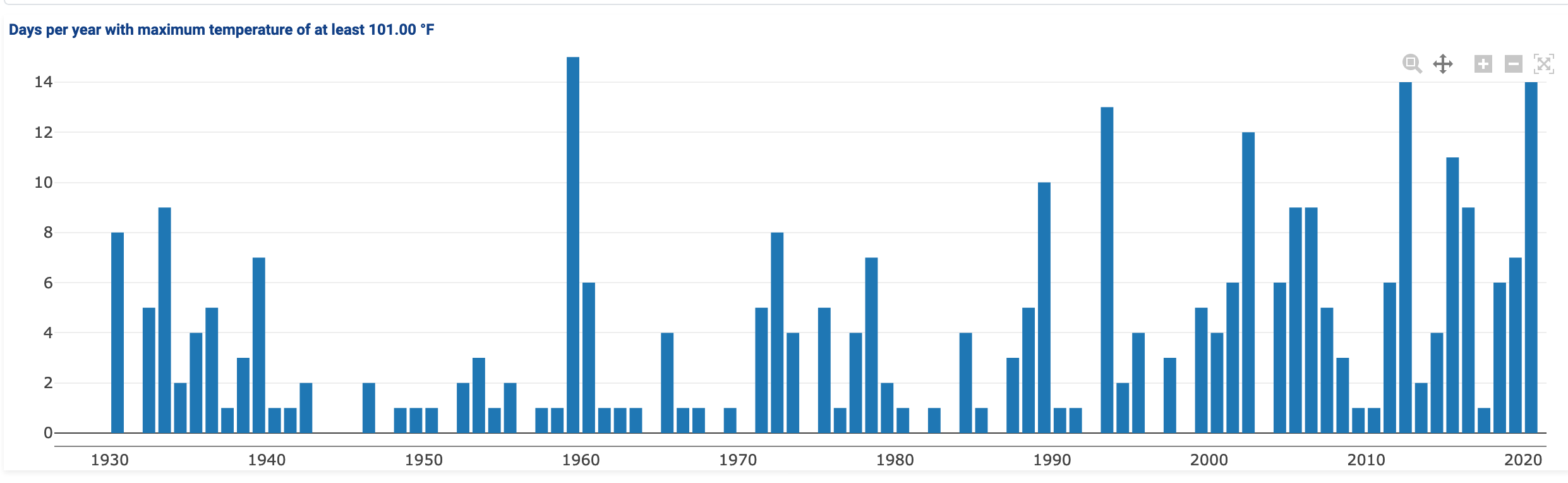
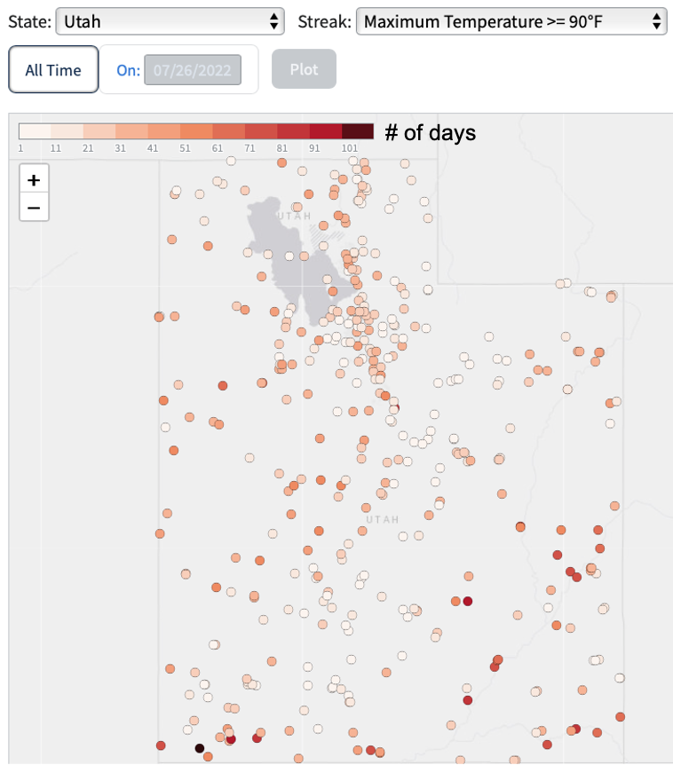
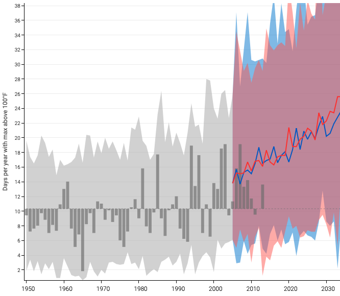
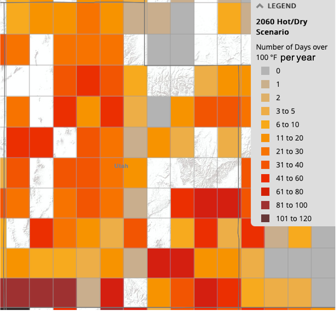
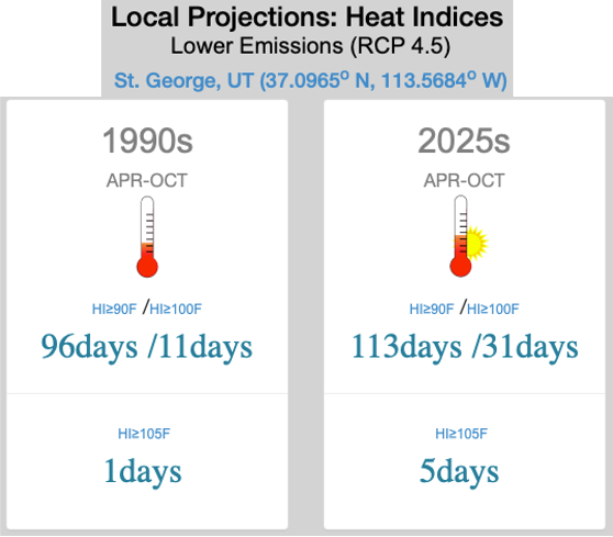
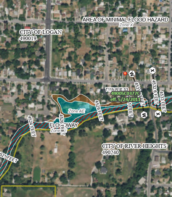
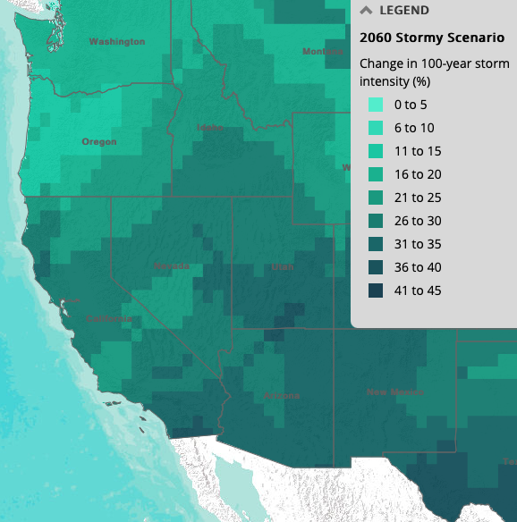
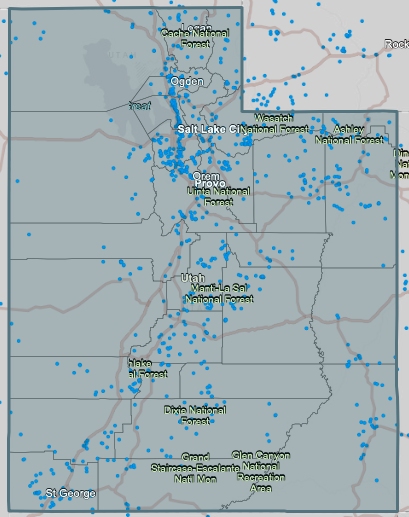
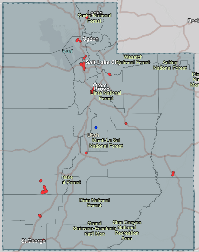
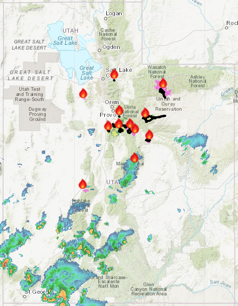
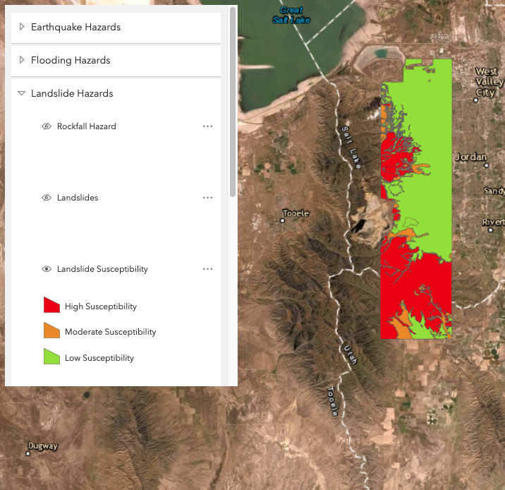
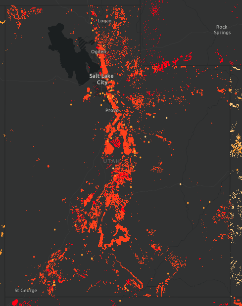
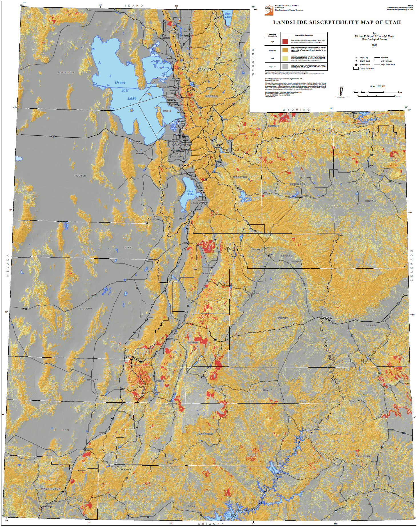
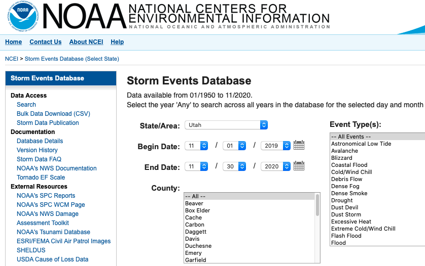
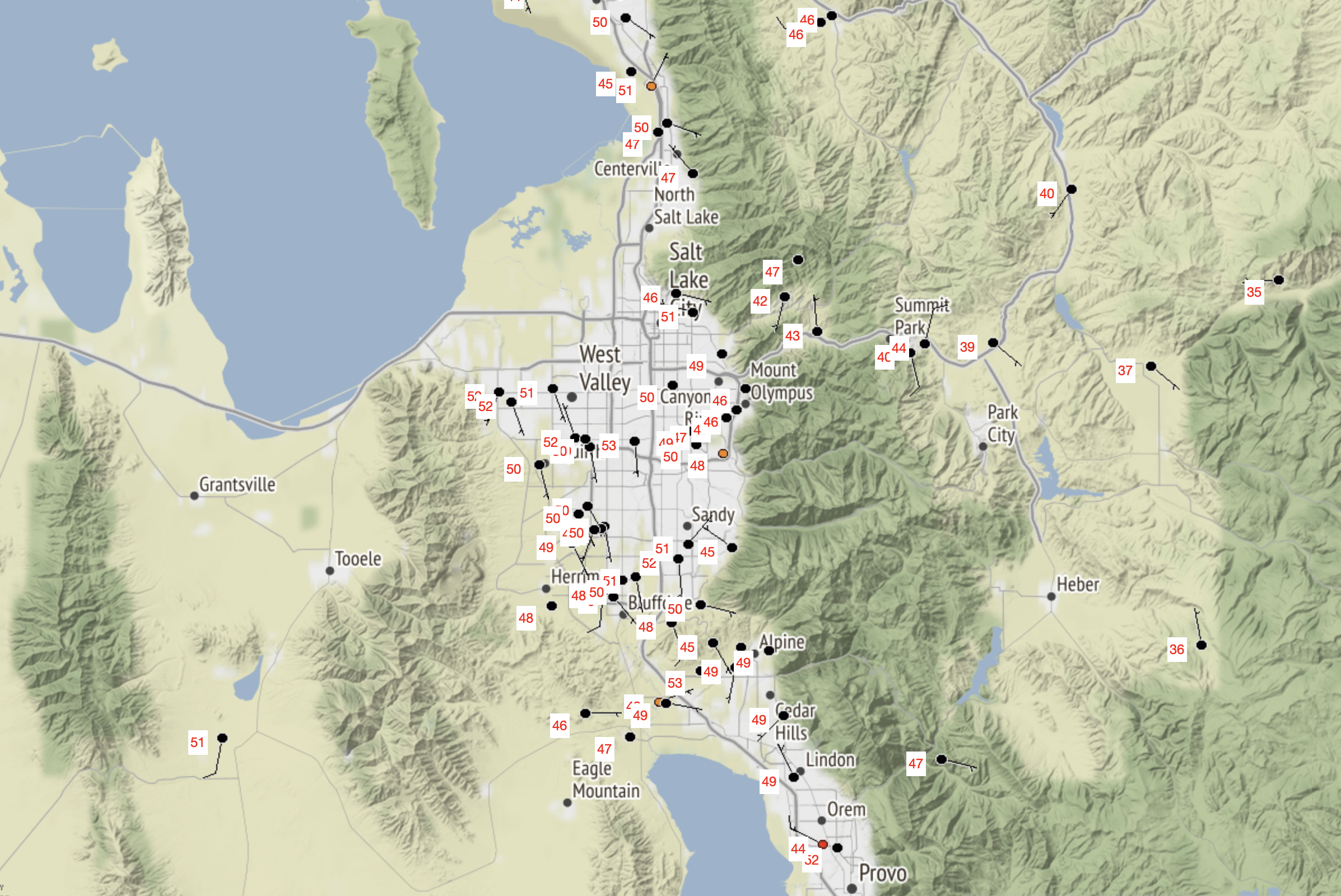
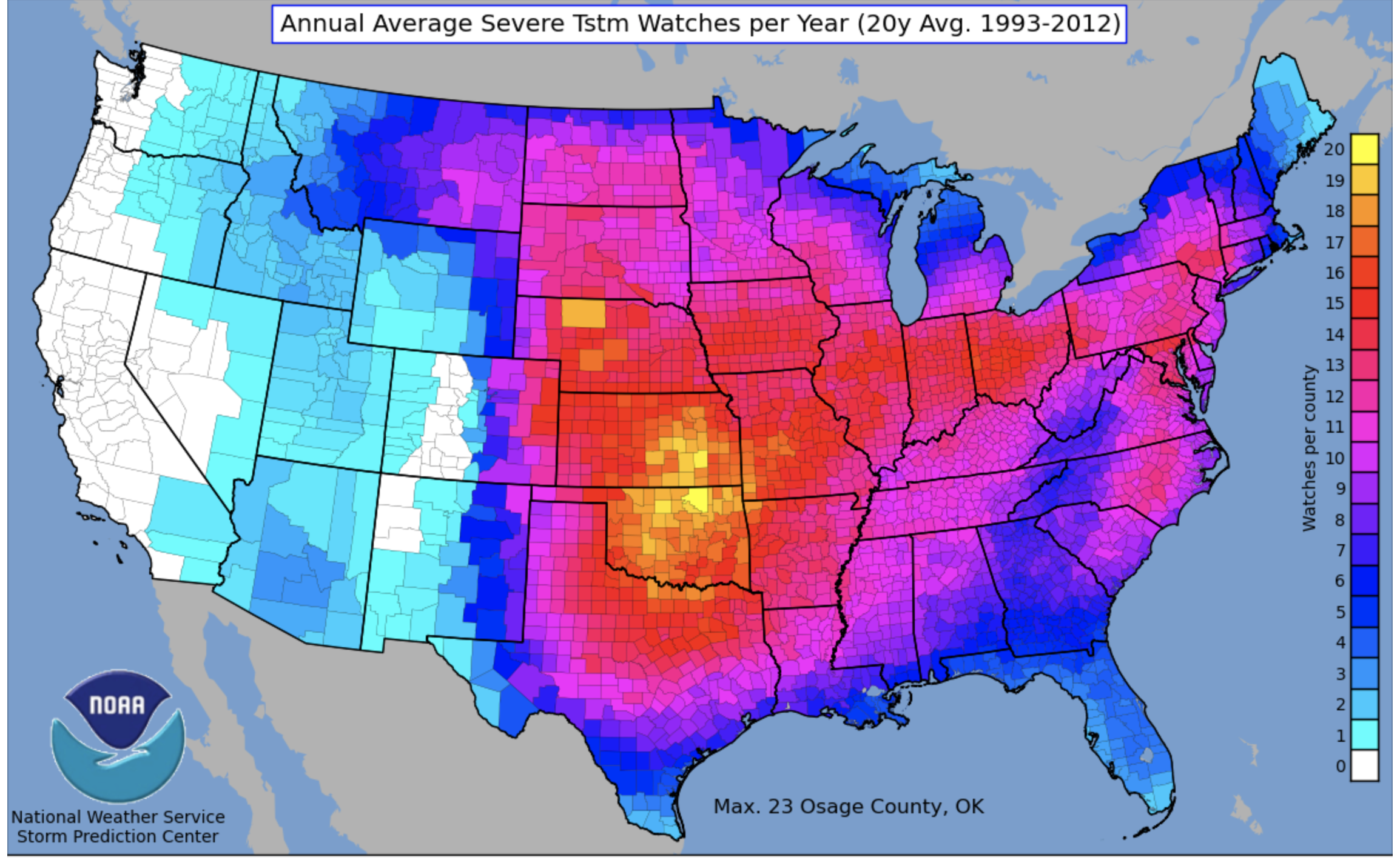
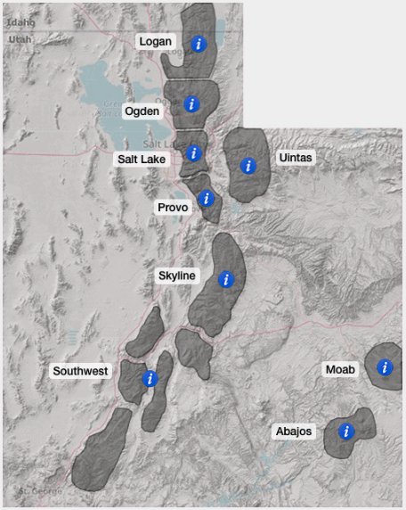
Each information tool is represented by a graphic; most are static images illustrating the type of information available, but some graphics are updated to provide current information. Graphic captions indicate the frequency of updates or the length of record for historical information.
-
Click on the tool name to go to the tool's website.
-
Click on the Info question mark for a description of the information available and instructions for using the tool.
-
Click on the graphic to enlarge the image.
The Utah Hazard Planning Tool was developed by Western Water Assessment in collaboration with the Southern Climate Impacts Planning Program (SCIPP, www.southernclimate.org). This tool was modeled after The Simple Planning Tool for Oklahoma Climate Hazards which was produced by SCIPP in 2019. The Utah Hazard Planning Tool is available in a report format here.